NOAA Nautical Chart 12266
Chesapeake Bay Choptank River and Herring Bay; Cambridge
Chart 12266OG
NOAA Custom Chart (updated)
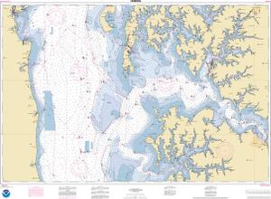
At the discretion of USCG inspectors, this chart may meet carriage requirements.
Scale: 40000
Actual Chart Size: 46.1" x 33.8"
Paper Size: 36.0" x 48.0"
For weekly NOAA chart update, please click here
Click here to access the Zone of Confidence (ZOC) diagram along with important notes. You can either view the information or print it. This chart may or may not contain insets.
The chart you are viewing is a NOAA chart by OceanGrafix. Printed “on-demand,” it contains all of the latest NOAA updates as of the time of printing. This chart is available for purchase online.
NOTE: ENC data is not entirely compatible with the traditional NOAA chart area scales — and may be unreadable in areas where the incompatibility of scales is represented. Please review the chart carefully. To create your own custom chart, CLICK HERE
Chart 12266
Traditional NOAA Version (not updated)
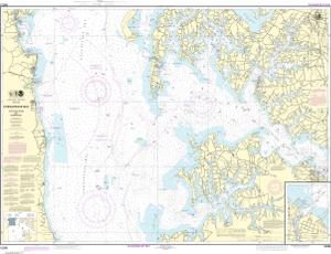
Scale: 40,000
Actual Chart Size: 46.0" x 35.2"
Paper Size: 36.0" x 49.0"
NOAA Edition #: 34
NOAA Edition Date: 2019-07-01
OceanGrafix Edition #: 35*
OceanGrafix Edition Date: 2021-11-04*
NTM Notice/Date: 1024 2024-03-09
NTM: https://msi.nga.mil
LNM Notice/Date: 0924 2024-02-27
This chart has been canceled so it is NOT updated weekly and does NOT include all of the latest Notice to Mariners corrections. This chart is available for purchase online.
Turn Your Chart Into Art!
We now have five options for chart artwork that are perfect for home or office. Click on one of the options below to get started. We offer a variety of sizes and pricing.


