

Shop by Region
NGA
- North America
- Central, South America
- Western Africa, Mediterranean, Black Sea
- Eastern Africa, Southern Asia
- Australia, New Zealand, Indonesia, Papua New Guinea
- South Pacific Islands
- Eastern Asia, South Eastern Russia, Philippines
- Other Regions
Canadian
Caribbean and Mediterranean
Norwegian
SHOM
SEMAR
U.S.
Search by chart title, key word or chart number:

Tide Tables and Tidal Current Tables 2024
Navigational information to supplement your charts
NOAA's Tide Tables and Tidal Current tables are used by mariners for navigation. They contain tide and/or tidal current predictions and associated information produced by and obtained from the Department of Commerce, National Oceanic and Atmospheric Administration, National Ocean Service.
Daily High and Low Water Predictions for more than 100 reference ports and 3,000 subordinate stations, provide U.S. coastal coverage. They are available in two volumes, covering the East and Gulf Coasts of the United States including the Bahamas and Caribbean Islands, and West Coast of the United States including the Hawaiian Islands and U.S. Territories in the Pacific.
Predicted times of slack water, and times and speeds of maximum current (flood and ebb) are provided for each day of the year. More than 80 reference ports and 3,000 subordinate stations are available in two volumes, covering the Atlantic and Gulf Coasts of the United States, and the Pacific Coast of the United States including the Hawaiian Islands.
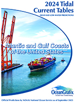 2024 Tidal Table - Atlantic and Gulf Coasts of the United States
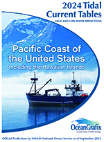 2024 Tidal Table - Pacific Coast of the United States
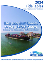 2024 Tide Table - East and Gulf Coasts of the United States - Including Bahamas and Caribbean Islands
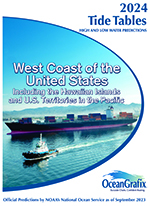 2024 Tide Table - West Coast of the United States - Including Hawaiian Islands and U.S. Territories in the Pacific


©2024 Nautical Charts Online, All Rights Reserved.