

Shop by Region
NGA
- North America
- Central, South America
- Western Africa, Mediterranean, Black Sea
- Eastern Africa, Southern Asia
- Australia, New Zealand, Indonesia, Papua New Guinea
- South Pacific Islands
- Eastern Asia, South Eastern Russia, Philippines
- Other Regions
Canadian
Caribbean and Mediterranean
Norwegian
SHOM
SEMAR
U.S.
Search by chart title, key word or chart number:
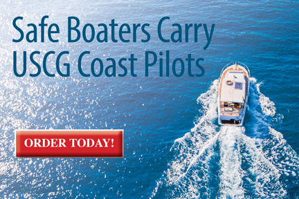
Coast Pilot Series
Navigational information to supplement your charts
The United States Coast Pilot® consists of a series of nautical books that cover a variety of information important to navigators of coastal and intracoastal waters and the Great Lakes. Issued in ten volumes, they contain supplemental information that is difficult to portray on a nautical chart.
Topics include channel descriptions, anchorages, bridge and cable clearances, currents, tide and water levels, prominent features, pilotage, towage, weather, ice conditions, wharf descriptions, dangers, routes, traffic separation schemes, small-craft facilities, and Federal regulations applicable to navigation.
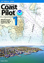 Coast Pilot 1
2024 Edition 54$35.00
Coast Pilot 1 covers the coasts of Maine, New Hampshire, and part of Massachusetts, from West Quoddy Head in Maine to Provincetown in Massachusetts. Major ports are at Portsmouth, NH and Boston, MA.
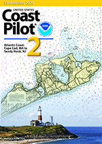 Coast Pilot 2
2024 Edition 53$35.00
Coast Pilot 2 covers the Atlantic coast from Cape Cod to Sandy Hook, embracing part of the Massachusetts coast and all of the coasts of Rhode Island, Connecticut, and New York.
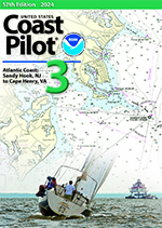 Coast Pilot 3
2024 Edition 57$35.00
Coast Pilot 3 covers the Atlantic coast from Sandy Hook to Cape Henry, including the New Jersey Coast, Delaware Bay, Philadelphia, the Delaware - Maryland - Virginia coast, and the Chesapeake Bay.
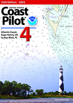 Coast Pilot 4
2023 Edition 55$35.00
Coast Pilot 4 covers the Atlantic coast of the United States from Cape Henry to Key West.
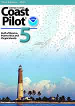 Coast Pilot 5
2024 Edition 52$35.00
Coast Pilot 5 covers the Gulf of Mexico from Key West, FL to the Rio Grande. This area is generally low and mostly sandy, presenting no marked natural features to the mariner approaching from seaward. Coast Pilot 5 also covers Puerto Rico and the Virgin Islands.
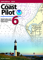 Coast Pilot 6
2024 Edition 54$35.00
Coast Pilot 6 covers the Great Lakes system, including Lakes Ontario, Erie, Huron, Michigan, and Superior, their connecting waters, and the St. Lawrence River.
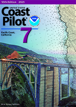 Coast Pilot 7
2023 Edition 55$35.00
Coast Pilot 7 covers the rugged and mountainous coast of California. The California coastline consists of high land rising abruptly from the sea and a variety of mountain terrain including chaparral and underbrush south of San Francisco Bay and timbered mountains to the north of the bay.
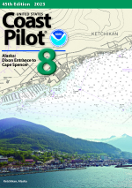 Coast Pilot 8
2023 Edition 45$35.00
Coast Pilot 8 covers the panhandle section of Alaska between the south boundary and Cape Spencer. In this volume, general ocean coastline is only 250 nautical miles, but tidal shoreline totals 11,085 miles.
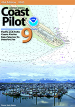 Coast Pilot 9
2023 Edition 41$35.00
Coast Pilot 9 deals with the Pacific and Arctic coasts of Alaska from Cape Spencer to the Beaufort Sea. General ocean coastline totals 5,520 nautical miles, and tidal shoreline totals 18,377 miles.
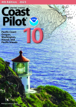 Coast Pilot 10
2023 Edition 4$35.00
Coast Pilot 10 covers the northern part of the United States coast including Oregon and Washington. Coast Pilot 10 also includes the Hawaiian Islands and other United States territories in the South Pacific.


©2024 Nautical Charts Online, All Rights Reserved.