

Shop by Region
NGA
- North America
- Central, South America
- Western Africa, Mediterranean, Black Sea
- Eastern Africa, Southern Asia
- Australia, New Zealand, Indonesia, Papua New Guinea
- South Pacific Islands
- Eastern Asia, South Eastern Russia, Philippines
- Other Regions
Canadian
Caribbean and Mediterranean
Norwegian
SHOM
SEMAR
U.S.
Search by chart title, key word or chart number:

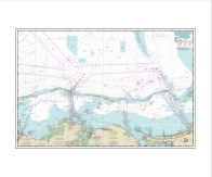
NOAA Nautical Chart 18447
Lake Washington Ship Canal and Lake Washington

Scale: 10,000
Actual Chart Size: 58.6" x 35.5"
Paper Size: 36.0" x 63.0"
Edition #: 30
Edition Date: 2012-09-01
NTM Notice/Date: 1624 2024-04-20
NTM: https://msi.nga.mil
LNM Notice/Date: 1524 2024-04-09
LNM: http://ocsdata.ncd.noaa.gov/nm
NTM = NGA Notice to Mariners
LNM = Local Notice to Mariners
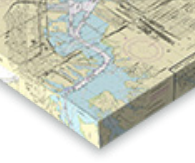
The chart you are viewing is a NOAA chart by OceanGrafix. Printed “on-demand,” it contains all of the latest NOAA updates as of the time of printing. This chart is available for purchase online.
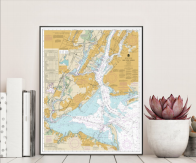
Turn Your Chart Into Art!
We now have five options for chart artwork that are perfect for home or office. Click on one of the options below to get started. We offer a variety of sizes and pricing.


©2024 Nautical Charts Online, All Rights Reserved.